Quick answer
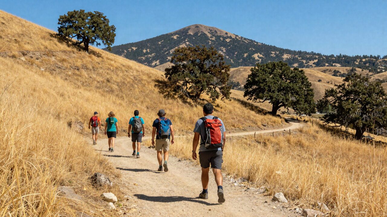
A group day at Mount Diablo costs $10 per car at the North or South Gate, and both roads reach the 3,849-foot summit. Plan one car-based summit visit for everyone, then split by fitness: a flat summit walk, an easy loop at Rock City, or a long climb from Mitchell Canyon.
This guide goes deeper on the park alone. For the wider list of hikes, lakes and farms near Antioch, see our outdoor day trips from Antioch.
Key takeaways
- Mount Diablo State Park charges per vehicle, not per person: $10 at the North Gate and South Gate entrances and $6 at the Mitchell Canyon and Macedo Ranch staging areas, so carpooling saves a group money.
- Only the North Gate and South Gate roads reach the summit. Mitchell Canyon, the closest trailhead to Antioch, has no car access to the top.
- Trails range from the flat, paved Mary Bowerman Trail at the summit to the 13-mile climb from Mitchell Canyon, so one group can split by fitness and meet for lunch.
- The Summit Visitor Center is open daily from 10am to 4pm and free to enter once you have paid the park fee.
- Dogs are not allowed on trails or fire roads, and the park can close on days of extreme fire danger. Check the state park page the morning you go.
In this guide
Mount Diablo at a glance
Most of what a group needs to know fits on one card: hours, fees, which gate to use and what is allowed.
| What | What the park lists today |
|---|---|
| Park hours | Gates open 8am and close at sunset; be back in your vehicle by sunset |
| Summit Visitor Center | Open daily, 10am to 4pm; free entry with the park fee |
| Mitchell Canyon Visitor Center | Weekends and some holidays, 8am to 4pm |
| Day-use fee, North and South Gate | $10 per vehicle |
| Day-use fee, Mitchell Canyon and Macedo Ranch | $6 per vehicle, cash or check only |
| Summit by car | North Gate Road or South Gate Road only |
| Dogs | Developed areas only, on a leash; not on trails or fire roads |
| Large vehicles | Trailers and motorhomes up to 20 feet; pilot car recommended for buses |
| Drones | Not allowed |
The state park page says special rates may apply on peak, holiday and weekend periods and that prices can change without notice. Check the current price on their site the week you go.
Which entrance to use from Antioch
Use Mitchell Canyon for a hike, and the North Gate for the summit drive. The choice matters because the closest entrance to Antioch does not go to the top.
Mitchell Canyon sits on the north side of the mountain, past Clayton. It is the shortest drive from Antioch and the start of the park's big north-side hikes, but cars cannot continue to the summit from here. The visitor center is a small volunteer-run building, open weekends and some holidays.
North Gate Road starts on the Walnut Creek side. It climbs to the junction with South Gate Road, and Summit Road continues to the top. For most groups leaving Antioch, this is the way up for the drive.
South Gate Road comes in from the Danville side and passes Rock City, the park's playground of sandstone outcrops and wind caves, before meeting the same junction.
Macedo Ranch, on the southwest side, is a trailhead only, with no road to the summit.
Allow roughly 45 to 60 minutes from Antioch to the summit by car, depending on traffic and which side you start from. The last stretch is slow, and cyclists share the road; the park lists 67 bike turnouts along the summit roads.
Fees and how a group keeps them down
Mount Diablo charges by the car, so the cheapest group is the one that fills every seat. Twelve people in three cars pay $30 at a main gate; the same twelve in six cars pay $60.
A few ways to make it simple:
- Carpool from the house. Agree on two or three drivers the night before and leave together.
- Pick one entrance for everyone. If half the group hikes from Mitchell Canyon and half drives up the North Gate, each car pays at its own gate. That is fine, but plan the meeting point and time in advance, because the two sides are far apart by road.
- Look at passes if you go often. The park accepts California State Parks passes, including the Senior Golden Bear Pass for those who qualify. Read the pass terms on the state park site before you rely on one.
- Skip the big van. The summit roads are narrow and winding, and the park recommends a pilot car for buses. Smaller cars are easier on the curves and in the summit lot.
Trails by fitness level
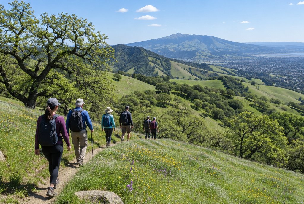
Mount Diablo works for mixed groups because the easy walks and the hard climbs are on the same mountain. Split up in the morning and meet at the summit or a picnic area for lunch.
| Trail | Start | Distance | Climb | Who it suits |
|---|---|---|---|---|
| Mary Bowerman Trail (accessible part) | Summit area | About 0.2 miles each way to Ransome Point | Mostly under 5% slope | Grandparents, strollers, wheelchairs |
| Rock City Trail | Rock City, off South Gate Road | 0.3 miles | About 80 feet | Young children, climbers on the rocks |
| Madrone Canyon | Lower Rock City lot | About 2 miles round trip | About 385 feet | Families, casual hikers |
| Eagle Peak Loop | Mitchell Canyon staging area | About 6.5 miles | About 2,170 feet | Fit hikers, half day |
| Mitchell Canyon to the summit | Mitchell Canyon staging area | About 13 miles round trip | About 3,500 feet | Strong hikers, full day |
Distances for the trails beyond the summit walk come from hiking sites rather than the park, and different routes vary. Carry a park map and check it at the trailhead.
Easy. The Mary Bowerman Trail starts near the summit and its accessible section runs on concrete and wood to the Ransome Point overlook. The park's accessibility page lists one short 22-foot stretch at 6% and accessible parking at the trailhead, with water and restrooms at the lower summit lot. Rock City is the other easy pick: short paths weave between sandstone outcrops, and children like climbing in the wind caves. Supervise climbers; the rock is uneven.
Moderate. Madrone Canyon, which starts at the lower Rock City lot, is about two miles with a modest climb, and Save Mount Diablo describes it as good in all four seasons. Pair it with Rock City for a morning that tires out the kids without wearing out the adults.
Hard. From Mitchell Canyon, the Eagle Peak loop climbs fire roads and ridge trails to a peak with wide views, roughly 6.5 miles with more than 2,000 feet of climbing. The full climb from Mitchell Canyon to the summit is a long day of about 13 miles round trip. Mitchell Canyon is also where the park points people for spring wildflowers.
The summit and visitor center
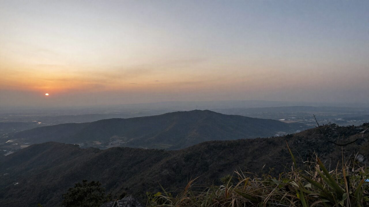
The summit is the reason most groups come: a stone tower, a small free museum and a deck with one of the longest views in the state. The state park page says the view can reach nearly 200 miles in ideal conditions.
The visitor center sits in a tower built in the late 1930s from fossil-rich sandstone quarried in the park, according to the Mount Diablo Interpretive Association. Look for fossil oysters in the walls on the way up the circular stair. Inside are a rock wall and video on how the mountain formed, panels on the region's Native American history, a diorama of the park's habitats, a model of the mountain and a gift shop. A beacon above the deck, once used by aviators, is lit once a year on December 7 to honor those who died at Pearl Harbor.
For relatives who can't manage stairs, plan ahead. The park's accessibility page describes a limited-use elevator to the upper floors and observation deck, which does not run to the deck in strong winds. On the day of writing, the main state park page said the elevator was out of service until further notice. Call the visitor center before you go if anyone in the group depends on it.
Picnics and a day plan
The best group picnic spot is the summit picnic area by the lower summit lot. The accessibility page lists about a dozen tables, some under a shade structure, barbecue grills, a drinking fountain, flushing restrooms and a view over the Livermore Valley.
Smaller picnic areas along South Gate Road, at Rock City, Upper Rock City and Elephant Rock, have two or three tables each, so they suit a smaller party or a quick lunch. Fires are allowed only in park barbecues or portable camp stoves, and gathering firewood is not allowed.
Example plan for a group of 12 with grandparents and kids:
| Time | Easy group | Hiking group |
|---|---|---|
| 7:30am | Breakfast at the house | Leave for Mitchell Canyon |
| 8:30am | Pack lunch | Start the Eagle Peak loop |
| 10:00am | Drive up via North Gate | On the trail |
| 10:30am | Visitor center and the Mary Bowerman Trail | On the trail |
| 12:30pm | Picnic at the summit picnic area | Drive up to join for lunch |
| 2:00pm | Rock City on the way down | Rock City or head home |
| 4:00pm | Back at the house | Back at the house |
The hiking group pays $6 at Mitchell Canyon and then $10 again if it drives in through a main gate, so decide whether the joint lunch is worth the second fee.
Seasons, heat and park rules
Fall through spring is the best time for a group, with summer mornings as the fallback. Summer afternoons on the lower trails are hot and exposed, and the air on the summit is often cooler and windier than in Antioch, so bring a layer.
- Fire danger. The state park page says weather can restrict fires or close the park during extreme fire danger. The interpretive association suggests calling the park to confirm it is open on hot, dry days.
- Stay on trails. The park asks visitors to keep to designated trails, and collecting plants, rocks or other natural items is not allowed.
- Water and sun. Many trails have little shade. Carry more water than you think you need, especially for children.
- Dogs. Leave them at the house on a hiking day. JekkyStay homes welcome up to three pets for a $100 pet fee per stay, and service animals are free. Our guide to a group vacation rental with dogs covers the rest.
- Wildlife. Watch for rattlesnakes on warm days and check for ticks after walking through tall grass.
Where to stay for a Mount Diablo day
Antioch puts a group close to the mountain's north side and back home for dinner the same evening. The six-bedroom Antioch House sleeps up to 15, with a kitchen for packing picnic lunches and a fireplace for after a cold day on the summit.
For more on the area, see our Antioch and East Bay page, things to do in Antioch and what's on locally on our Antioch events page. Planning a reunion around the trip? Our family reunions page has the rest.
The bottom line
Mount Diablo gives a mixed group a shared summit and separate trails. Carpool to keep the per-car fees down, bring cash, use the North Gate for the drive and Mitchell Canyon for the long hikes, and meet at the summit picnic area for lunch. Check the state park page that morning for fire closures and hours, and leave the dog at the house.
Frequently asked questions
How much does it cost to enter Mount Diablo State Park?
California State Parks lists a day-use fee of $10 per vehicle at the North Gate and South Gate entrances and $6 per vehicle at the Mitchell Canyon and Macedo Ranch staging areas, which take cash or check only. The page notes special rates may apply at peak times and prices can change, so check before you go.
Can you drive to the top of Mount Diablo?
Yes. North Gate Road and South Gate Road both lead to Summit Road and the summit parking area. The Mitchell Canyon and Macedo Ranch staging areas do not have vehicle access to the summit.
What are the Mount Diablo Summit Visitor Center hours?
The state park page lists the Summit Visitor Center as open daily from 10am to 4pm. Entry to the museum is free once you have paid the park fee. Park gates open at 8am and close at sunset.
What is the easiest trail on Mount Diablo for older relatives?
The Mary Bowerman Trail at the summit. Its accessible section runs about 0.2 miles each way on a concrete and wood surface, mostly under 5% slope, to the Ransome Point overlook. Accessible parking is at the trailhead.
Can we bring the dog to Mount Diablo?
Only to developed areas such as picnic sites and campgrounds, on a leash. Dogs are not allowed on trails, fire roads or in park buildings, so most groups leave them at the house for a hiking day.
Can a large van or bus drive up Mount Diablo?
The roads are narrow and winding. The state park page says a pilot car is recommended for buses and lists a 20-foot limit for trailers and motorhomes. Two or three cars is usually the simpler plan for a group.
Sources
- California State Parks: Mount Diablo State Park
- California State Parks: accessible features at Mount Diablo
- Mount Diablo Interpretive Association: Summit Museum
- Mount Diablo Interpretive Association: park information
- Save Mount Diablo: Madrone Canyon hike
- Hiking Project: Rock City Trail
- onX: Eagle Peak Loop
- SoCal Hiker: Mitchell Canyon to Mount Diablo